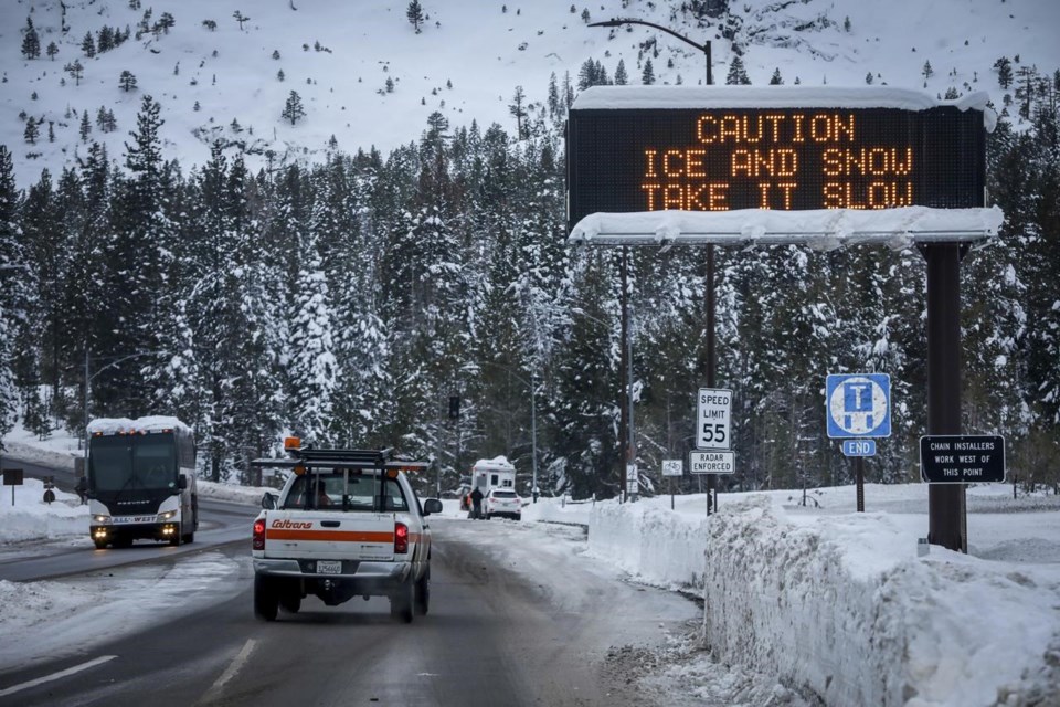
LOS ANGELES (AP) — The mountain snowpack that supplies a significant amount of California's water got an incredible boost from recent powerful storms and is outpacing the state's wettest season on record, state water officials said Wednesday.
But its too soon to know if the winter will be a drought-buster, they said.
Water content in the state's mountain snow is 205% of normal to date and 128% of the April 1 average, when the snow is at its historical peak, according to measurements taken by the California Department of Water Resources. Historically one-third of California's water supply has come from melting snow.
“Our snowpack is off to an incredible start, and it’s exactly what California needs to really help break from our ongoing drought,” said Sean de Guzman, manager of the department's snow surveys and water supply forecasting unit.
“However, for every day that it doesn’t rain or snow, we gradually return to drier conditions,” he said.
De Guzman conducted a manual measurement high in the Sierra Nevada at Phillips Station, south of Lake Tahoe, a location that demonstrates California's varying snow fortunes — sometimes buried in white and sometimes bare ground.
His survey there found a snow depth of 85.5 inches (217.17 centimeters) and a water content that was 193% percent of the Feb. 1 average at the location.
The massive snowpack was largely left by that lasted from late December through mid-January. The storms dumped 32 trillion gallons of rain and snow on the state, allowing state water managers to for farms and cities.
Most of California remains in moderate to severe drought, though that's better than several months ago when a huge swath of the state was in extreme or exceptional drought, according to the .
The amount of water in the snowpack, technically described as snow water equivalent, currently outpaces California's record 1982-83 season, according to the department. But the weather has turned drier, with only modest systems passing through.
DWR Director Karla Nemeth pointed out that February “is a traditional wet month that is actually starting off pretty dry” and the forecast is for dryness to continue.
“Does our big January actually bust the drought in California? It’s too soon to tell,” Nemeth said.
Nemeth also suggested that the April 1 date is no longer reliable because climate change is changing the timing of the peak snowpack. She also cited recent years in which runoff has dropped off dramatically and storm conditions have shut down and been followed by excessive dry periods.
“I don’t want to be the downer here,” Nemeth said. “But I do want to make sure that everyone understands that we need to exercise caution.”
The precipitation has filled some reservoirs but others remain below historic average storage to date. Among the state's largest reservoirs, Lake Oroville was at 65% of capacity and 112% of average as of midnight Tuesday. But Shasta Lake was lagging at 56% of capacity, 87% of its historic average to date.
The storms also caused damaging flooding and landslides. There were at least 20 storm-related deaths, and a boy remains missing since being by a swollen creek in San Luis Obispo County.
John Antczak, The Associated Press


