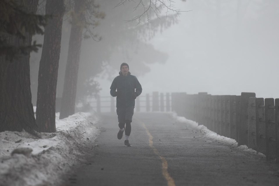
Climate change is causing mild winter temperatures to become more frequent across the country, one extreme weather expert says.
Parts of southern Ontario have seen unseasonably warm temperatures and rainfall warnings in recent days, with some local conservation authorities warning the public to stay away from waterways as water levels are expected to rise due to rain and melting snow.
While it's hard to attribute individual weather events to climate change, Blair Feltmate, head of the Intact Centre on Climate Adaptation at the University of Waterloo, says destabilization of the polar vortex caused by global warming is contributing to atypical extreme temperatures compared to what's been seen in the past.
"That's what we're seeing in the weather ... not every extreme temperature event can be directly linked to climate change, but it certainly is consistent with the prediction of climate change," says Feltmate.
"What we're going to see is changes in the frequency of extreme expressions of extreme temperatures -- hot or cold."
Feltmate says cold air from the north is migrating further south as a direct function of global warming, bringing wet conditions to regions that don't usually experience that level of cold.
On the flip side, warm air from the south can in turn travel further north, which could mean more extreme precipitation events at times of the year when they're not expected, which may result in worsening flood conditions, he says.
"That precipitation can come down in the form of snow that's just below freezing temperature or in the form of major rain events," says Feltmate.
"This is causing flooding to be more problematic for Canada as a whole, and the No. 1 expression of climate change in Canada is flooding, particularly residential basement flooding, flooding in municipalities including individual homes."
Feltmate says the increased frequency of and threatened risks due to residential flooding has led to 10 per cent of the housing market no longer being insurable for basement flooding.
Doug Gillham, a meteorologist with The Weather Network, says most of the country is now seeing an extended winter break and warmer-than-normal temperatures after seeing a front-loaded winter in December.
"We're used to January thaws, but this January has become more than just a thaw," he says.
"It's really quite a break from the winter pattern that's going to last much longer than normal and be so widespread."
However, Gillham says colder-than-normal winter temperatures are expected to return in late January or early February.
Meanwhile, Environment Canada issued a mix of rainfall and freezing rain warnings Wednesday for a number of regions in southern Ontario.
The weather agency said regions under freezing rain warnings like Cornwall and Belleville could see snow mixed with ice pellets continue until Thursday morning, while regions like Niagara and Simcoe were expected to see another round of rainfall last until Wednesday evening.
This report by The Canadian Press was first published Jan. 4, 2023.
—�Ĕ�Ĕ
This story was produced with the financial assistance of the Meta and Canadian Press News Fellowship.
Tyler Griffin, The Canadian Press


