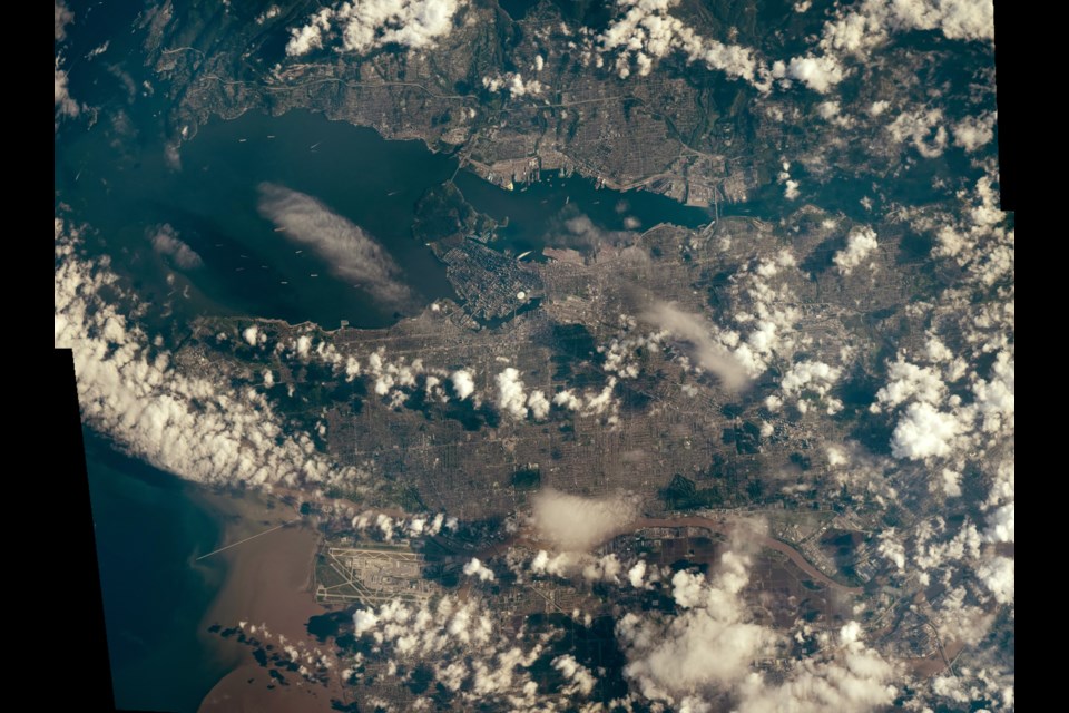
Locals know Vancouver well from street level, and most know it, from some angles, from several storeys up.
And when you're in a plane flying over the city you can get a view from hundreds or maybe a couple thousand feet up.
Astronauts and satellites are a bit higher though, and get a perspective even birds would find spectacular.
For example, the International Space Station passes 400 km overhead, with astronauts and from above.
And then there's the European Space Agency's (ESA) Copernicus program with satellites almost 770 km above. To put that in perspective, imagine flying to Calgary, except straight up. And you'd still be 100 km short.
From that perspective, the city is significantly smaller. In fact, the biggest signs of human activity are the farm fields in the Fraser Valley.
However, cameras are pretty good these days and some details are discernable in photos taken from that high above. In one of the photos, where the Fraser River's sediment muddies the Salish Sea, . Looking closely, you can see details like the ferries' paths through the water or the sections of Burns Bog that had been harvested years ago.
The image of the heat dome temperatures is interesting as it doesn't show air temperatures, which is what is usually measured, but surface temperatures. In that image, Vancouver appears to be much warmer than surrounding regions, and the ESA notes that surface temperatures in the city hit 43 C. Environment Canada's measurements at their YVR site noted a high of 32.4 C the same day.
Photos from space can also reorient the perspective of a place. The Japanese space agency and NASA took a photo of Vancouver a few winters ago that didn't put north at the top of the photo. Instead, the Fraser River delta is in the middle, with the mouth of the river at the top. Given the river's historical importance to the area, there's a certain logic to the unusual orientation.


